East Howe: approaching Brook Road on footpath E34
Introduction
The photograph on this page of East Howe: approaching Brook Road on footpath E34 by Chris Downer as part of the Geograph project.
The Geograph project started in 2005 with the aim of publishing, organising and preserving representative images for every square kilometre of Great Britain, Ireland and the Isle of Man.

There are currently over 7.5m images from over 14,400 individuals and you can help contribute to the project by visiting https://www.geograph.org.uk
East Howe: approaching Brook Road on footpath E34
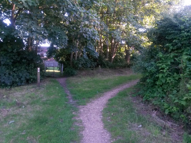
Image: © Chris Downer Taken: 5 Jul 2016
The Gulliver Trail, connected with ancient smuggling, heads to the right to meet Brook Road, but the mapped public right of way heads straight on, through the gate, arriving on Brook Road a few yards further on. See Image for a view towards us from ahead, and Image for the next view behind us.
Images are licensed for reuse under creativecommons.org/licenses/by-sa/2.0
Image Location
Latitude
50.762648
Longitude
-1.899564