East Howe: overgrowing undergrowth on footpath U40
Introduction
The photograph on this page of East Howe: overgrowing undergrowth on footpath U40 by Chris Downer as part of the Geograph project.
The Geograph project started in 2005 with the aim of publishing, organising and preserving representative images for every square kilometre of Great Britain, Ireland and the Isle of Man.

There are currently over 7.5m images from over 14,400 individuals and you can help contribute to the project by visiting https://www.geograph.org.uk
East Howe: overgrowing undergrowth on footpath U40
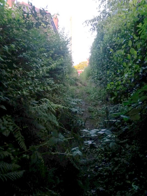
Image: © Chris Downer Taken: 3 Jul 2016
This public footpath leads from Green Lane (behind us) to Heather Road. It is a narrow, grass/earth track which is quite overgrown in places. Perhaps it is little used because a much better, tarmacked path runs parallel 100 yards or so to the south. See Image for the next view along the path ahead, and Image for the next view behind us.
Images are licensed for reuse under creativecommons.org/licenses/by-sa/2.0
Image Location
Latitude
50.756439
Longitude
-1.894899