Castlefields Drive, Rastrick
Introduction
The photograph on this page of Castlefields Drive, Rastrick by Humphrey Bolton as part of the Geograph project.
The Geograph project started in 2005 with the aim of publishing, organising and preserving representative images for every square kilometre of Great Britain, Ireland and the Isle of Man.

There are currently over 7.5m images from over 14,400 individuals and you can help contribute to the project by visiting https://www.geograph.org.uk
Castlefields Drive, Rastrick
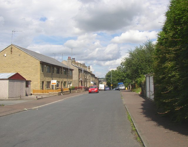
Image: © Humphrey Bolton Taken: 22 Jul 2007
This road follows the valley, whilst Thornhill Road climbs steeply up to the town centre. The development started with the terrace houses on the right, and the road was made in the first half of the 20C. It gives access to the Castlefields Crescent estate, but the frontage development on the left is quite recent.
Images are licensed for reuse under creativecommons.org/licenses/by-sa/2.0
Image Location
Latitude
53.692464
Longitude
-1.790978