Radcliffe, Pilkington Way
Introduction
The photograph on this page of Radcliffe, Pilkington Way by David Dixon as part of the Geograph project.
The Geograph project started in 2005 with the aim of publishing, organising and preserving representative images for every square kilometre of Great Britain, Ireland and the Isle of Man.

There are currently over 7.5m images from over 14,400 individuals and you can help contribute to the project by visiting https://www.geograph.org.uk
Radcliffe, Pilkington Way
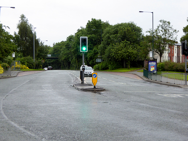
Image: © David Dixon Taken: 28 Jun 2016
Pilkington Way was constructed in the 1980s as a town-centre bypass to relieve the heavy traffic congestion along the traditional route through the town, Blackburn Street. A new bridge across the Irwell was constructed for the road, and part of Blackburn Street was pedestrianised.
Images are licensed for reuse under creativecommons.org/licenses/by-sa/2.0
Image Location
Latitude
53.561058
Longitude
-2.327714