Fort Matilda from Lyle Hill
Introduction
The photograph on this page of Fort Matilda from Lyle Hill by Thomas Nugent as part of the Geograph project.
The Geograph project started in 2005 with the aim of publishing, organising and preserving representative images for every square kilometre of Great Britain, Ireland and the Isle of Man.

There are currently over 7.5m images from over 14,400 individuals and you can help contribute to the project by visiting https://www.geograph.org.uk
Fort Matilda from Lyle Hill
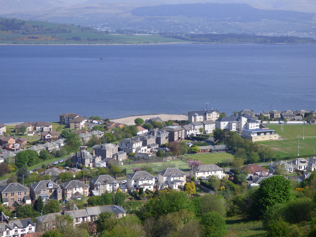
Image: © Thomas Nugent Taken: 10 May 2016
The tennis club and rugby club can be seen. The Navy Buildings cannot, as they were demolished in 2015, leaving just the pile of rubble in the centre of the photo.
Images are licensed for reuse under creativecommons.org/licenses/by-sa/2.0
Image Location


Leaflet Map data © OpenStreetMap
Latitude
55.959425
Longitude
-4.793693