Play and sports ground, Werngifford
Introduction
The photograph on this page of Play and sports ground, Werngifford by Jonathan Billinger as part of the Geograph project.
The Geograph project started in 2005 with the aim of publishing, organising and preserving representative images for every square kilometre of Great Britain, Ireland and the Isle of Man.

There are currently over 7.5m images from over 14,400 individuals and you can help contribute to the project by visiting https://www.geograph.org.uk
Play and sports ground, Werngifford
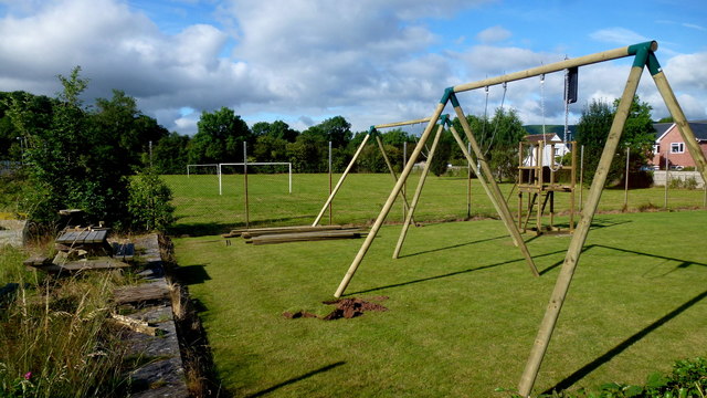
Image: © Jonathan Billinger Taken: 5 Jul 2016
Werngifford is a community off the A465 midway between Llanvihangel Crucorney and Pandy.
Images are licensed for reuse under creativecommons.org/licenses/by-sa/2.0
Image Location
Latitude
51.886159
Longitude
-2.970665