Langtree Hall
Introduction
The photograph on this page of Langtree Hall by David Hignett as part of the Geograph project.
The Geograph project started in 2005 with the aim of publishing, organising and preserving representative images for every square kilometre of Great Britain, Ireland and the Isle of Man.

There are currently over 7.5m images from over 14,400 individuals and you can help contribute to the project by visiting https://www.geograph.org.uk
Langtree Hall
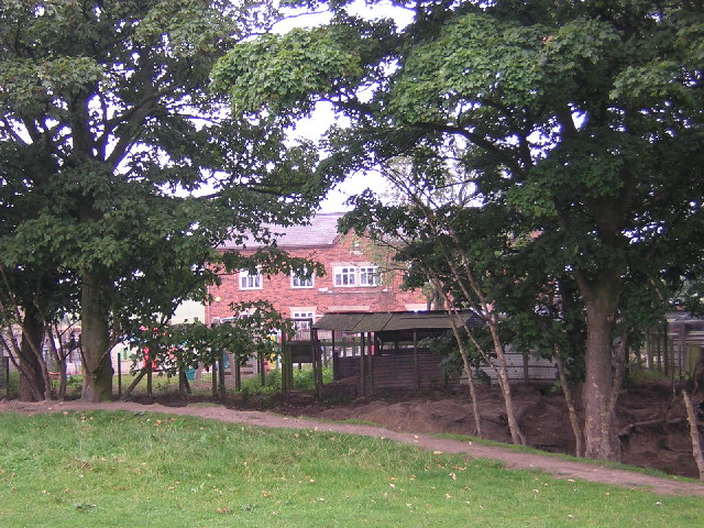
Image: © David Hignett Taken: 5 Sep 2005
Shown on the Map as having a Moat and located beside a Roman Road, Langtree Hall is now a relatively modern brick building which houses a Day Nursery
Images are licensed for reuse under creativecommons.org/licenses/by-sa/2.0
Image Location


Leaflet Map data © OpenStreetMap
Latitude
53.594624
Longitude
-2.664753