Iver railway station, Richings Park
Introduction
The photograph on this page of Iver railway station, Richings Park by Rob Emms as part of the Geograph project.
The Geograph project started in 2005 with the aim of publishing, organising and preserving representative images for every square kilometre of Great Britain, Ireland and the Isle of Man.

There are currently over 7.5m images from over 14,400 individuals and you can help contribute to the project by visiting https://www.geograph.org.uk
Iver railway station, Richings Park
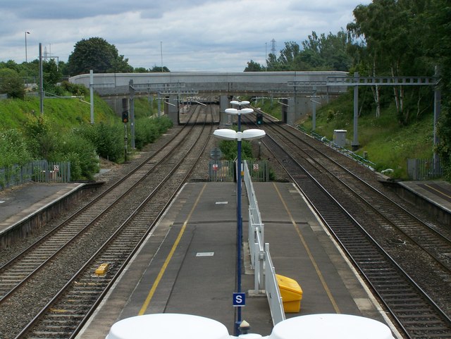
Image: © Rob Emms Taken: 4 Jul 2016
Iver railway station, which really is in Richings Park. Looking east towards the new road bridge for Thorney Lane South. A higher bridge was needed for the Crossrail project.
Images are licensed for reuse under creativecommons.org/licenses/by-sa/2.0
Image Location


Leaflet Map data © OpenStreetMap
Latitude
51.508761
Longitude
-0.504556