View south from Minster High Street
Introduction
The photograph on this page of View south from Minster High Street by Marathon as part of the Geograph project.
The Geograph project started in 2005 with the aim of publishing, organising and preserving representative images for every square kilometre of Great Britain, Ireland and the Isle of Man.

There are currently over 7.5m images from over 14,400 individuals and you can help contribute to the project by visiting https://www.geograph.org.uk
View south from Minster High Street
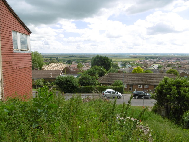
Image: © Marathon Taken: 3 Jul 2016
Minster Abbey is named after a Saxon nunnery here which was founded in 664AD and sacked by the Danes in 835. This was re-established about 1130, when the present church was built, incorporating and still showing parts of its Saxon predecessor. It is located on the highest point of the Isle of Sheppey and gives superb views to the south across the island and beyond The Swale to the mainland. A full description of the Abbey can be found at http://www.minsterabbey.org.uk/3.html This view is from High Street, just to the south of the churchyard. The hills on the horizon are on the mainland.
Images are licensed for reuse under creativecommons.org/licenses/by-sa/2.0
Image Location
Latitude
51.420998
Longitude
0.8117