Trees and farmland SE of Hatton: aerial 2016
Introduction
The photograph on this page of Trees and farmland SE of Hatton: aerial 2016 by Chris as part of the Geograph project.
The Geograph project started in 2005 with the aim of publishing, organising and preserving representative images for every square kilometre of Great Britain, Ireland and the Isle of Man.

There are currently over 7.5m images from over 14,400 individuals and you can help contribute to the project by visiting https://www.geograph.org.uk
Trees and farmland SE of Hatton: aerial 2016
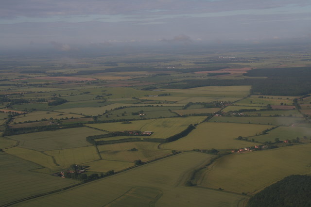
Image: © Chris Taken: 3 Jul 2016
Looking past Glebe Farm at the shaped band of trees and towards the A158, Chambers Farm Wood and Bardney (factory/silos).
Images are licensed for reuse under creativecommons.org/licenses/by-sa/2.0
Image Location
Latitude
53.269055
Longitude
-0.220869