Wallisdown: footpath N02 abuts Talbot Mews
Introduction
The photograph on this page of Wallisdown: footpath N02 abuts Talbot Mews by Chris Downer as part of the Geograph project.
The Geograph project started in 2005 with the aim of publishing, organising and preserving representative images for every square kilometre of Great Britain, Ireland and the Isle of Man.

There are currently over 7.5m images from over 14,400 individuals and you can help contribute to the project by visiting https://www.geograph.org.uk
Wallisdown: footpath N02 abuts Talbot Mews
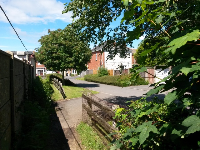
Image: © Chris Downer Taken: 3 Jul 2016
The modern development Talbot Mews almost but not quite encroaches on the route of footpath N02 from Wallisdown Road. We can see ahead that the original course of the footpath is still available, but is probably little used because it's easier to use the roadway. See Image for a view along the path (and the Mews) from the end ahead, and Image] for the next view along the path behind us.
Images are licensed for reuse under creativecommons.org/licenses/by-sa/2.0
Image Location
Latitude
50.747008
Longitude
-1.90796