Malmesbury Park: footpath C20 from its northern end
Introduction
The photograph on this page of Malmesbury Park: footpath C20 from its northern end by Chris Downer as part of the Geograph project.
The Geograph project started in 2005 with the aim of publishing, organising and preserving representative images for every square kilometre of Great Britain, Ireland and the Isle of Man.

There are currently over 7.5m images from over 14,400 individuals and you can help contribute to the project by visiting https://www.geograph.org.uk
Malmesbury Park: footpath C20 from its northern end
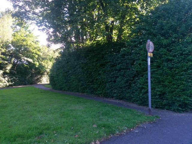
Image: © Chris Downer Taken: 3 Jul 2016
The opposing view to Image] along this short public footpath whose purpose is to cut the corner for those wishing to turn right from Portchester Road (foreground) onto path C18 in the direction of Wellington Road. The No Cycling sign refers only to this path; path C18 ahead is marked out as a shared route.
Images are licensed for reuse under creativecommons.org/licenses/by-sa/2.0
Image Location
Latitude
50.729159
Longitude
-1.863647