Springbourne: footpath C22 to Ophir Gardens
Introduction
The photograph on this page of Springbourne: footpath C22 to Ophir Gardens by Chris Downer as part of the Geograph project.
The Geograph project started in 2005 with the aim of publishing, organising and preserving representative images for every square kilometre of Great Britain, Ireland and the Isle of Man.

There are currently over 7.5m images from over 14,400 individuals and you can help contribute to the project by visiting https://www.geograph.org.uk
Springbourne: footpath C22 to Ophir Gardens
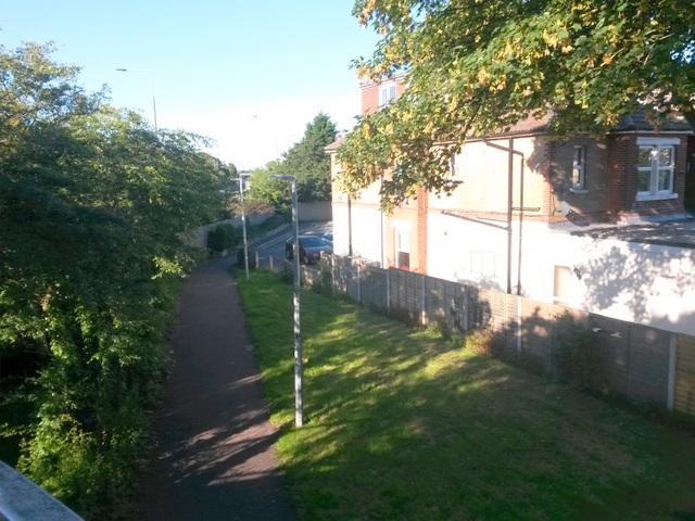
Image: © Chris Downer Taken: 3 Jul 2016
Looking down from the footbridge ramp along this short public footpath which comes out at the dead end of Ophir Gardens ahead. This is the opposing view to Image See Image for a view along the path from the far end, and Image for a view along the footbridge, which is footpath C21.
Images are licensed for reuse under creativecommons.org/licenses/by-sa/2.0
Image Location


Leaflet Map data © OpenStreetMap
Latitude
50.729065
Longitude
-1.860531