A General View near Aldermaston AWE
Introduction
The photograph on this page of A General View near Aldermaston AWE by Pam Brophy as part of the Geograph project.
The Geograph project started in 2005 with the aim of publishing, organising and preserving representative images for every square kilometre of Great Britain, Ireland and the Isle of Man.

There are currently over 7.5m images from over 14,400 individuals and you can help contribute to the project by visiting https://www.geograph.org.uk
A General View near Aldermaston AWE
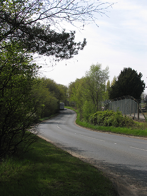
Image: © Pam Brophy Taken: 22 Apr 2005
The road that joins up with the A340 to Basingstoke. On the right of the picture one can see the edge of the Aldermaston Atomic Weapons Establishment. This section is in the lower half of the grid square more or less in the centre.
Images are licensed for reuse under creativecommons.org/licenses/by-sa/2.0
Image Location


Leaflet Map data © OpenStreetMap
Latitude
51.365433
Longitude
-1.12863