Pierce Mill Lane crossing the River Bourne
Introduction
The photograph on this page of Pierce Mill Lane crossing the River Bourne by Marathon as part of the Geograph project.
The Geograph project started in 2005 with the aim of publishing, organising and preserving representative images for every square kilometre of Great Britain, Ireland and the Isle of Man.

There are currently over 7.5m images from over 14,400 individuals and you can help contribute to the project by visiting https://www.geograph.org.uk
Pierce Mill Lane crossing the River Bourne
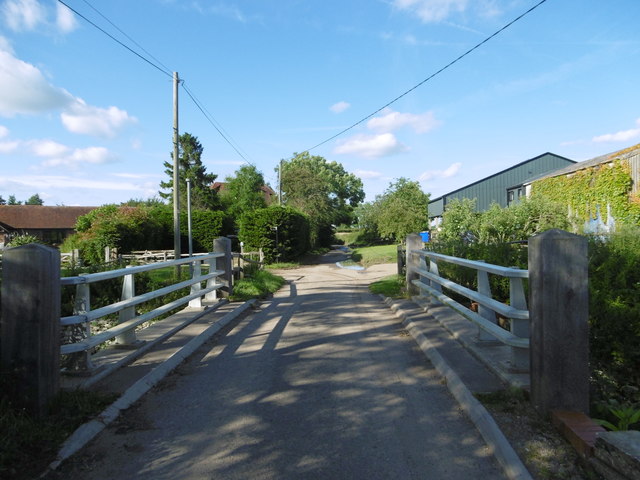
Image: © Marathon Taken: 3 Jul 2016
The Wealdway long distance path comes in from the left on the other side of the bridge and continues up Pierce Mill Lane ahead.
Images are licensed for reuse under creativecommons.org/licenses/by-sa/2.0
Image Location


Leaflet Map data © OpenStreetMap
Latitude
51.211797
Longitude
0.36005