Whitgreave Primary School
Introduction
The photograph on this page of Whitgreave Primary School by John M as part of the Geograph project.
The Geograph project started in 2005 with the aim of publishing, organising and preserving representative images for every square kilometre of Great Britain, Ireland and the Isle of Man.

There are currently over 7.5m images from over 14,400 individuals and you can help contribute to the project by visiting https://www.geograph.org.uk
Whitgreave Primary School
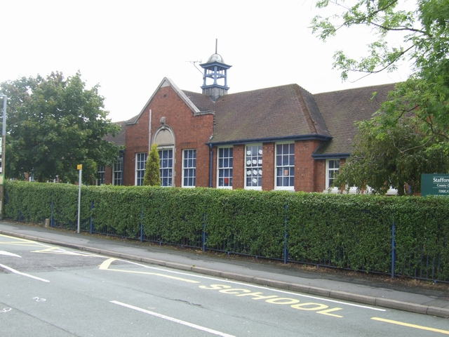
Image: © John M Taken: 22 Jul 2007
Featherstone was the mining village for the nearby Hilton Main Colliery. The shaft was sunk in the interwar period. The pit closed in the late 1960s. The school has seen a new influx as housing estates were built around the village. A new school would be required if the latest proposals for a further 1000 homes are approved.
Images are licensed for reuse under creativecommons.org/licenses/by-sa/2.0
Image Location
Latitude
52.642975
Longitude
-2.092177