Kilmardinny House
Introduction
The photograph on this page of Kilmardinny House by Richard Sutcliffe as part of the Geograph project.
The Geograph project started in 2005 with the aim of publishing, organising and preserving representative images for every square kilometre of Great Britain, Ireland and the Isle of Man.

There are currently over 7.5m images from over 14,400 individuals and you can help contribute to the project by visiting https://www.geograph.org.uk
Kilmardinny House
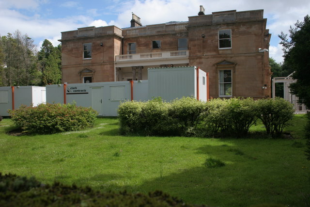
Image: © Richard Sutcliffe Taken: 2 Jul 2016
This Georgian Category A listed building has been owned by the local council since 1965 (see [http://www.edlc.co.uk/pdf/Culture/Kilmardinny%20History.pdf] for its full history). In recent years it has been an arts centre, and is currently being renovated and extended as a £2.58m project to develop it into a wedding, conference and arts centre. When completed the building will be used for a range of activities including performances, exhibitions, conferences and weddings. For an aerial view, see [http://www.geograph.org.uk/photo/5609679].
Images are licensed for reuse under creativecommons.org/licenses/by-sa/2.0
Image Location
Latitude
55.925809
Longitude
-4.322057