Ten Acres
Introduction
The photograph on this page of Ten Acres by Simon Carey as part of the Geograph project.
The Geograph project started in 2005 with the aim of publishing, organising and preserving representative images for every square kilometre of Great Britain, Ireland and the Isle of Man.

There are currently over 7.5m images from over 14,400 individuals and you can help contribute to the project by visiting https://www.geograph.org.uk
Ten Acres
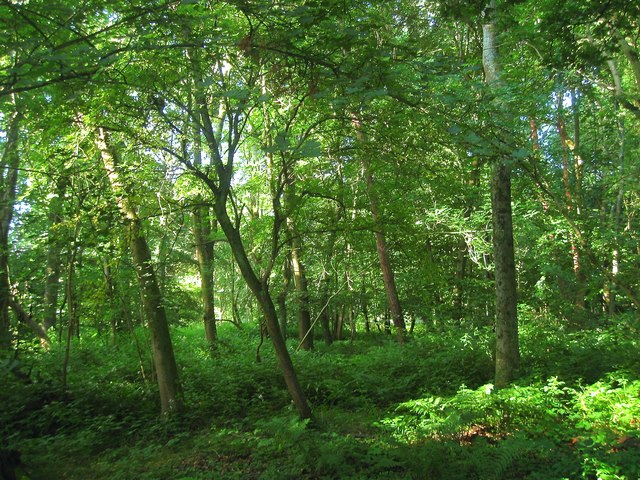
Image: © Simon Carey Taken: 2 Jul 2016
The name of the field according to Steyning's 1840 tithe map most of which is now wooded. The planting appears to have occurred between the two wars. It is bounded by Horsham Road to the west and north and Image to the east.
Images are licensed for reuse under creativecommons.org/licenses/by-sa/2.0
Image Location
Latitude
50.904134
Longitude
-0.334281