Audlem: Salford
Introduction
The photograph on this page of Audlem: Salford by Christopher Hilton as part of the Geograph project.
The Geograph project started in 2005 with the aim of publishing, organising and preserving representative images for every square kilometre of Great Britain, Ireland and the Isle of Man.

There are currently over 7.5m images from over 14,400 individuals and you can help contribute to the project by visiting https://www.geograph.org.uk
Audlem: Salford
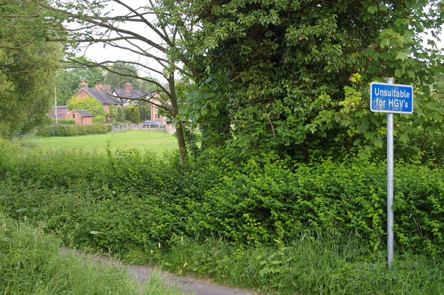
Image: © Christopher Hilton Taken: 3 Jun 2016
Until the Woore Road turnpike was built in the early 19th century, Salford was the main route east out of Audlem over the valley of Audlem Brook (the houses in the distance are on the far side of the brook). Its name, of course, nods to the importance of the salt industry to Cheshire for centuries.
Images are licensed for reuse under creativecommons.org/licenses/by-sa/2.0
Image Location
Latitude
52.989473
Longitude
-2.504067