Lane at Wooth
Introduction
The photograph on this page of Lane at Wooth by Derek Harper as part of the Geograph project.
The Geograph project started in 2005 with the aim of publishing, organising and preserving representative images for every square kilometre of Great Britain, Ireland and the Isle of Man.

There are currently over 7.5m images from over 14,400 individuals and you can help contribute to the project by visiting https://www.geograph.org.uk
Lane at Wooth
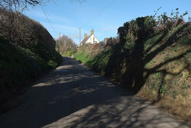
Image: © Derek Harper Taken: 12 Apr 2016
The gable end of a pair of cottages, seen as the lane climbs from the junction with Pymore Lane.
Images are licensed for reuse under creativecommons.org/licenses/by-sa/2.0
Image Location
Latitude
50.753975
Longitude
-2.751277