Castle Cross road junction
Introduction
The photograph on this page of Castle Cross road junction by David Smith as part of the Geograph project.
The Geograph project started in 2005 with the aim of publishing, organising and preserving representative images for every square kilometre of Great Britain, Ireland and the Isle of Man.

There are currently over 7.5m images from over 14,400 individuals and you can help contribute to the project by visiting https://www.geograph.org.uk
Castle Cross road junction
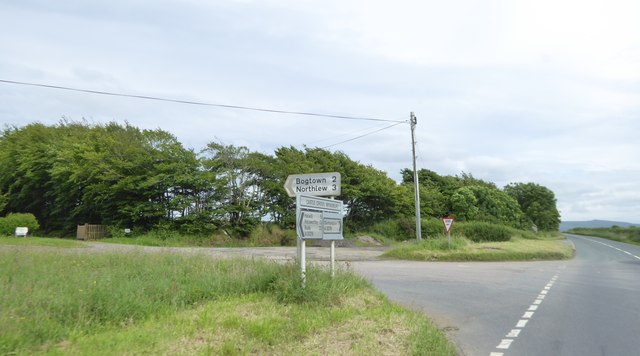
Image: © David Smith Taken: 23 Jun 2016
The "castle" refers to Broadbury Castle Roman camp (https://historicengland.org.uk/listing/the-list/list-entry/1017969 ) which is just to the left. Its outline is visible on Google Earth pictures
Images are licensed for reuse under creativecommons.org/licenses/by-sa/2.0
Image Location
Latitude
50.740747
Longitude
-4.152624