Bridleway level crossing, Sudbury branch line
Introduction
The photograph on this page of Bridleway level crossing, Sudbury branch line by Robin Webster as part of the Geograph project.
The Geograph project started in 2005 with the aim of publishing, organising and preserving representative images for every square kilometre of Great Britain, Ireland and the Isle of Man.

There are currently over 7.5m images from over 14,400 individuals and you can help contribute to the project by visiting https://www.geograph.org.uk
Bridleway level crossing, Sudbury branch line
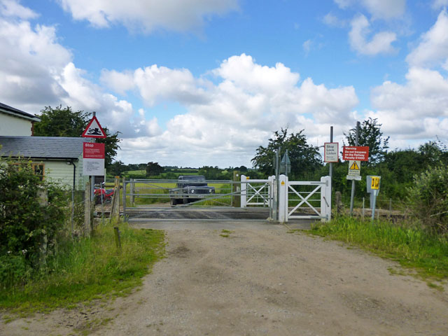
Image: © Robin Webster Taken: 2 Jul 2016
Also a vehicle crossing possibly for farm purposes and certainly for access to the former crossing keepers house, just showing on the left. At some time in the last ten years gates have replaces stiles for pedestrians - see Image .
Images are licensed for reuse under creativecommons.org/licenses/by-sa/2.0
Image Location
Latitude
51.89056
Longitude
0.769998