Trees along Hedleyhope Burn, Esh Winning
Introduction
The photograph on this page of Trees along Hedleyhope Burn, Esh Winning by Robert Graham as part of the Geograph project.
The Geograph project started in 2005 with the aim of publishing, organising and preserving representative images for every square kilometre of Great Britain, Ireland and the Isle of Man.

There are currently over 7.5m images from over 14,400 individuals and you can help contribute to the project by visiting https://www.geograph.org.uk
Trees along Hedleyhope Burn, Esh Winning
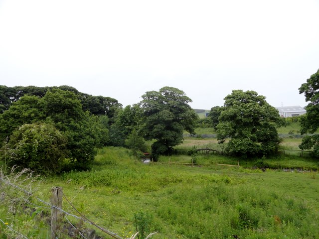
Image: © Robert Graham Taken: 29 Jun 2016
This stream runs along the east side of the village. Esh Winning, like many Co Durham ex mining villages, is set in the middle of extensive countryside.
Images are licensed for reuse under creativecommons.org/licenses/by-sa/2.0
Image Location
Latitude
54.773367
Longitude
-1.703841