Unitarian church
Introduction
The photograph on this page of Unitarian church by Michael Dibb as part of the Geograph project.
The Geograph project started in 2005 with the aim of publishing, organising and preserving representative images for every square kilometre of Great Britain, Ireland and the Isle of Man.

There are currently over 7.5m images from over 14,400 individuals and you can help contribute to the project by visiting https://www.geograph.org.uk
Unitarian church
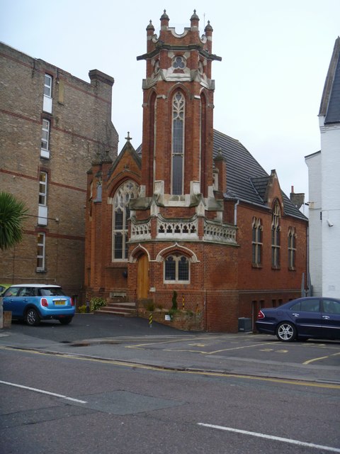
Image: © Michael Dibb Taken: 11 Dec 2015
This eccentric but delightful building is now occupied by a marketing company. The building is listed grade II with details at: https://www.historicengland.org.uk/listing/the-list/list-entry/1276700
Images are licensed for reuse under creativecommons.org/licenses/by-sa/2.0
Image Location
Latitude
50.717672
Longitude
-1.885211