Farmland on the north side of The Street
Introduction
The photograph on this page of Farmland on the north side of The Street by Christine Johnstone as part of the Geograph project.
The Geograph project started in 2005 with the aim of publishing, organising and preserving representative images for every square kilometre of Great Britain, Ireland and the Isle of Man.

There are currently over 7.5m images from over 14,400 individuals and you can help contribute to the project by visiting https://www.geograph.org.uk
Farmland on the north side of The Street
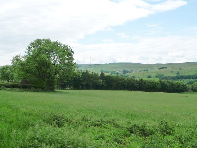
Image: © Christine Johnstone Taken: 14 Jun 2016
With the unseen footpath to Whelpo to the east and a shelter belt of conifers to the west.
Images are licensed for reuse under creativecommons.org/licenses/by-sa/2.0
Image Location
Latitude
54.740138
Longitude
-3.072318