Farmland between Parkend and Long Lea
Introduction
The photograph on this page of Farmland between Parkend and Long Lea by Christine Johnstone as part of the Geograph project.
The Geograph project started in 2005 with the aim of publishing, organising and preserving representative images for every square kilometre of Great Britain, Ireland and the Isle of Man.

There are currently over 7.5m images from over 14,400 individuals and you can help contribute to the project by visiting https://www.geograph.org.uk
Farmland between Parkend and Long Lea
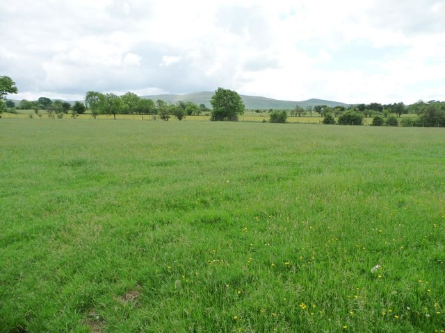
Image: © Christine Johnstone Taken: 14 Jun 2016
Looking south from the road called The Street. In the far distance, about 6 kms away, the mountain called Great Cockup.
Images are licensed for reuse under creativecommons.org/licenses/by-sa/2.0
Image Location
Latitude
54.739324
Longitude
-3.083014