Tarren y Maerdy
Introduction
The photograph on this page of Tarren y Maerdy by Alan Richards as part of the Geograph project.
The Geograph project started in 2005 with the aim of publishing, organising and preserving representative images for every square kilometre of Great Britain, Ireland and the Isle of Man.

There are currently over 7.5m images from over 14,400 individuals and you can help contribute to the project by visiting https://www.geograph.org.uk
Tarren y Maerdy
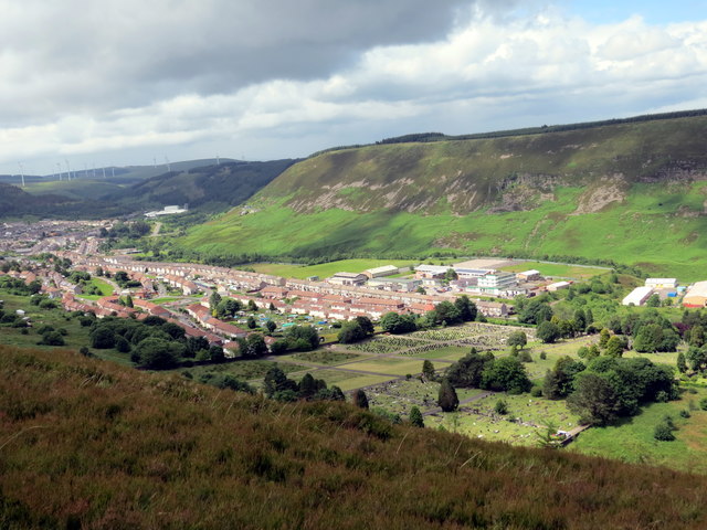
Image: © Alan Richards Taken: 1 Jul 2016
Edrych i lawr at fynwent o Darren y Maerdy. Looking down on a burial ground from Tarren y Maerdy (trans. cliff of the dairy house).
Images are licensed for reuse under creativecommons.org/licenses/by-sa/2.0
Image Location
Latitude
51.665708
Longitude
-3.470723