The Prince Albert, 109-11, New Street
Introduction
The photograph on this page of The Prince Albert, 109-11, New Street by John Baker as part of the Geograph project.
The Geograph project started in 2005 with the aim of publishing, organising and preserving representative images for every square kilometre of Great Britain, Ireland and the Isle of Man.

There are currently over 7.5m images from over 14,400 individuals and you can help contribute to the project by visiting https://www.geograph.org.uk
The Prince Albert, 109-11, New Street
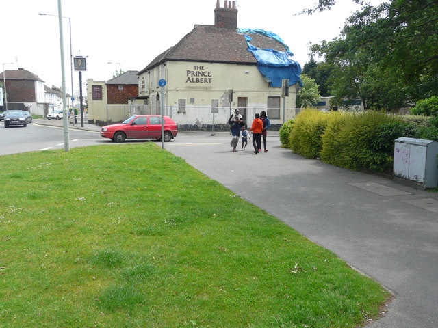
Image: © John Baker Taken: 5 Jun 2016
The Ashford Herald reported that the derelict public house had been damaged by fire on 17 March 2014 http://www.ashfordherald.co.uk/update-prince-albert-pub/story-20823244-detail/story.html This may explain why there is a ripped, blue tarpaulin covering part of the roof.
Images are licensed for reuse under creativecommons.org/licenses/by-sa/2.0
Image Location
Latitude
51.151368
Longitude
0.866635