Well Street, Cheadle
Introduction
The photograph on this page of Well Street, Cheadle by David Weston as part of the Geograph project.
The Geograph project started in 2005 with the aim of publishing, organising and preserving representative images for every square kilometre of Great Britain, Ireland and the Isle of Man.

There are currently over 7.5m images from over 14,400 individuals and you can help contribute to the project by visiting https://www.geograph.org.uk
Well Street, Cheadle
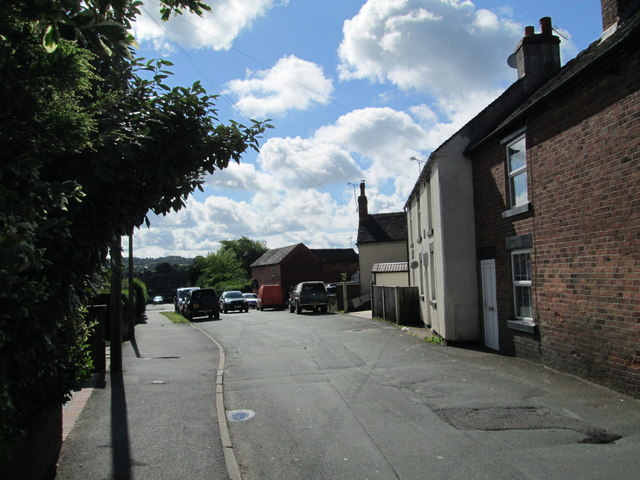
Image: © David Weston Taken: 30 Jun 2016
Some haphazardly-placed houses, between the town centre and the more recently built housing.
Images are licensed for reuse under creativecommons.org/licenses/by-sa/2.0
Image Location
Latitude
52.986407
Longitude
-1.983871