Cattle in field beside the How Burn
Introduction
The photograph on this page of Cattle in field beside the How Burn by Russel Wills as part of the Geograph project.
The Geograph project started in 2005 with the aim of publishing, organising and preserving representative images for every square kilometre of Great Britain, Ireland and the Isle of Man.

There are currently over 7.5m images from over 14,400 individuals and you can help contribute to the project by visiting https://www.geograph.org.uk
Cattle in field beside the How Burn
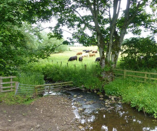
Image: © Russel Wills Taken: 30 Jun 2016
In the foreground the burn is fenced to allow cattle in the nearer field to drink from the burn.
Images are licensed for reuse under creativecommons.org/licenses/by-sa/2.0
Image Location
Latitude
55.122042
Longitude
-1.858068