Kinson: footpath E24 heads for Wakely Road
Introduction
The photograph on this page of Kinson: footpath E24 heads for Wakely Road by Chris Downer as part of the Geograph project.
The Geograph project started in 2005 with the aim of publishing, organising and preserving representative images for every square kilometre of Great Britain, Ireland and the Isle of Man.

There are currently over 7.5m images from over 14,400 individuals and you can help contribute to the project by visiting https://www.geograph.org.uk
Kinson: footpath E24 heads for Wakely Road
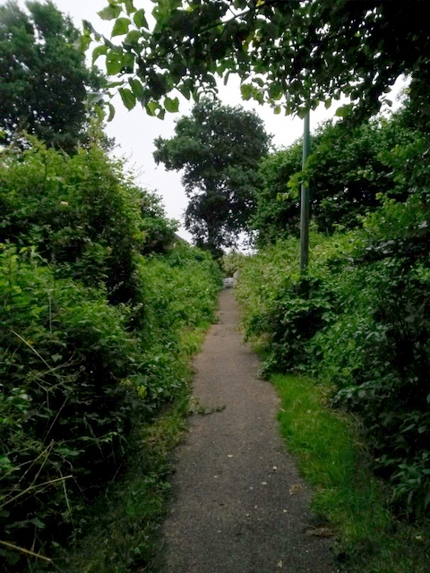
Image: © Chris Downer Taken: 30 Jun 2016
This public footpath has three different characters along its length: the bottom section is thickly covered by trees (Image]), the top section is typical suburban, running between two council houses (Image), while this middle part has heavy undergrowth on either side.
Images are licensed for reuse under creativecommons.org/licenses/by-sa/2.0
Image Location
Latitude
50.768411
Longitude
-1.909478