Kinson: footpath E21 to Anstey Close and Wimborne Road
Introduction
The photograph on this page of Kinson: footpath E21 to Anstey Close and Wimborne Road by Chris Downer as part of the Geograph project.
The Geograph project started in 2005 with the aim of publishing, organising and preserving representative images for every square kilometre of Great Britain, Ireland and the Isle of Man.

There are currently over 7.5m images from over 14,400 individuals and you can help contribute to the project by visiting https://www.geograph.org.uk
Kinson: footpath E21 to Anstey Close and Wimborne Road
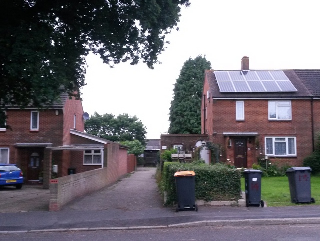
Image: © Chris Downer Taken: 30 Jun 2016
Looking across Baker Road, along the driveway to the Scout hut which forms the start of a public footpath to Wimborne Road via Anstey Close. See Image] for the view towards us from midway along the driveway, with links to further photos along the route.
Images are licensed for reuse under creativecommons.org/licenses/by-sa/2.0
Image Location
Latitude
50.767876
Longitude
-1.914725