Kinson: footpath E21 passes the Scout hut
Introduction
The photograph on this page of Kinson: footpath E21 passes the Scout hut by Chris Downer as part of the Geograph project.
The Geograph project started in 2005 with the aim of publishing, organising and preserving representative images for every square kilometre of Great Britain, Ireland and the Isle of Man.

There are currently over 7.5m images from over 14,400 individuals and you can help contribute to the project by visiting https://www.geograph.org.uk
Kinson: footpath E21 passes the Scout hut
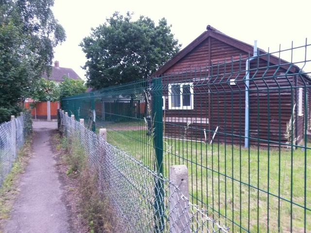
Image: © Chris Downer Taken: 30 Jun 2016
Looking along this public footpath as it heads for Baker Road, passing the Scout hut as it does so. See Image for the next picture along the path ahead, and Image] for the next picture behind us.
Images are licensed for reuse under creativecommons.org/licenses/by-sa/2.0
Image Location
Latitude
50.768056
Longitude
-1.914583