Farmland east of the railway, near Chelford
Introduction
The photograph on this page of Farmland east of the railway, near Chelford by Christopher Hilton as part of the Geograph project.
The Geograph project started in 2005 with the aim of publishing, organising and preserving representative images for every square kilometre of Great Britain, Ireland and the Isle of Man.

There are currently over 7.5m images from over 14,400 individuals and you can help contribute to the project by visiting https://www.geograph.org.uk
Farmland east of the railway, near Chelford
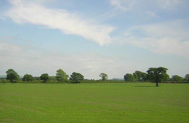
Image: © Christopher Hilton Taken: 3 Jun 2016
On the horizon, the distinctive silhouette of The Cloud, which overlooks Bosley.
Images are licensed for reuse under creativecommons.org/licenses/by-sa/2.0
Image Location
Latitude
53.274732
Longitude
-2.272433