Kinson: footpath E22 from Cudnell Avenue
Introduction
The photograph on this page of Kinson: footpath E22 from Cudnell Avenue by Chris Downer as part of the Geograph project.
The Geograph project started in 2005 with the aim of publishing, organising and preserving representative images for every square kilometre of Great Britain, Ireland and the Isle of Man.

There are currently over 7.5m images from over 14,400 individuals and you can help contribute to the project by visiting https://www.geograph.org.uk
Kinson: footpath E22 from Cudnell Avenue
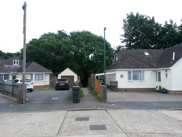
Image: © Chris Downer Taken: 30 Jun 2016
Unusually, numbering in Cudnell Avenue starts at a dead end - that's because both ends are dead ends. The pictured bungalows are clearly afterthoughts as they are numbered 1a (right) and 2a (left, with 2b and 2c next to them). Numbers 1 and 2 are to our direct right and left, out of picture. A short public footpath runs between the odds and evens, straight ahead, into Millhams Mead (Image]). See Image for the view towards us from a little way along the path, and Image for a view out of the end of the path into the wooded area beyond.
Images are licensed for reuse under creativecommons.org/licenses/by-sa/2.0
Image Location


Leaflet Map data © OpenStreetMap
Latitude
50.769673
Longitude
-1.91302