Road running south from Headson Cross
Introduction
The photograph on this page of Road running south from Headson Cross by David Smith as part of the Geograph project.
The Geograph project started in 2005 with the aim of publishing, organising and preserving representative images for every square kilometre of Great Britain, Ireland and the Isle of Man.

There are currently over 7.5m images from over 14,400 individuals and you can help contribute to the project by visiting https://www.geograph.org.uk
Road running south from Headson Cross
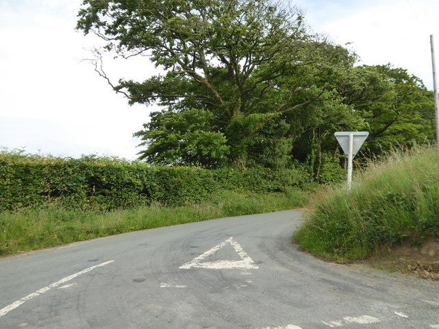
Image: © David Smith Taken: 23 Jun 2016
Headson Cross is a staggered crossroad, with roads which cross at an acute angle, hence the slight curve to improve sightlines. This road leads south to the hamlet of Wonnacott
Images are licensed for reuse under creativecommons.org/licenses/by-sa/2.0
Image Location


Leaflet Map data © OpenStreetMap
Latitude
50.695523
Longitude
-4.209459