The war memorial in Rippleside Cemetery
Introduction
The photograph on this page of The war memorial in Rippleside Cemetery by Marathon as part of the Geograph project.
The Geograph project started in 2005 with the aim of publishing, organising and preserving representative images for every square kilometre of Great Britain, Ireland and the Isle of Man.

There are currently over 7.5m images from over 14,400 individuals and you can help contribute to the project by visiting https://www.geograph.org.uk
The war memorial in Rippleside Cemetery
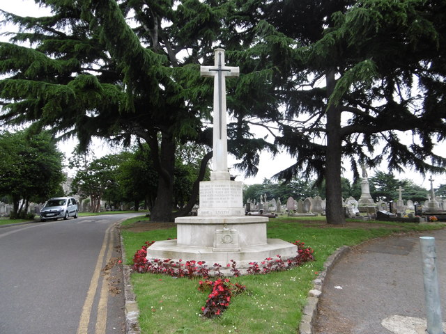
Image: © Marathon Taken: 29 Jun 2016
Rippleside Cemetery was set up by Barking Parish Burial Board. It was opened in 1886, the first burial taking place in October of that year. The original 19th century lodge, gates and some original railings remain, together with the chapel. The burial ground was extended to the east just after the Second World War. For a fuller description see http://www.londongardensonline.org.uk/gardens-online-record.asp?ID=BAD019 The war memorial faces the main entrance in Ripple Road.
Images are licensed for reuse under creativecommons.org/licenses/by-sa/2.0
Image Location
Latitude
51.5353
Longitude
0.104215