Well at Capheaton
Introduction
The photograph on this page of Well at Capheaton by Russel Wills as part of the Geograph project.
The Geograph project started in 2005 with the aim of publishing, organising and preserving representative images for every square kilometre of Great Britain, Ireland and the Isle of Man.

There are currently over 7.5m images from over 14,400 individuals and you can help contribute to the project by visiting https://www.geograph.org.uk
Well at Capheaton
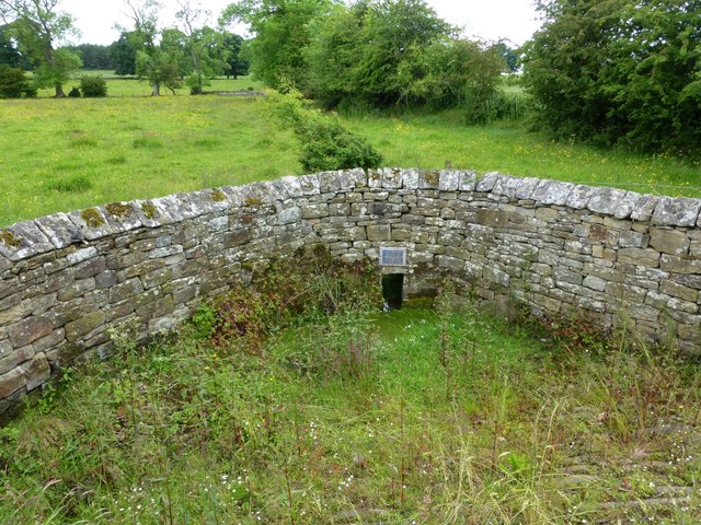
Image: © Russel Wills Taken: 30 Jun 2016
A well is noted in the early mapping of the area; it is uncertain whether this is man-made or simply a natural spring. Either of these possibilities could have supplied the immediate needs of the nearby area. It has been restored 'to commemorate the marriage of H.R.H. Prince Charles and Lady Diana Spencer July 29th 1981'. See plaque http://www.geograph.org.uk/photo/5015486
Images are licensed for reuse under creativecommons.org/licenses/by-sa/2.0
Image Location


Leaflet Map data © OpenStreetMap
Latitude
55.118968
Longitude
-1.94682