Moordown: footpath M03 from Limited Road
Introduction
The photograph on this page of Moordown: footpath M03 from Limited Road by Chris Downer as part of the Geograph project.
The Geograph project started in 2005 with the aim of publishing, organising and preserving representative images for every square kilometre of Great Britain, Ireland and the Isle of Man.

There are currently over 7.5m images from over 14,400 individuals and you can help contribute to the project by visiting https://www.geograph.org.uk
Moordown: footpath M03 from Limited Road
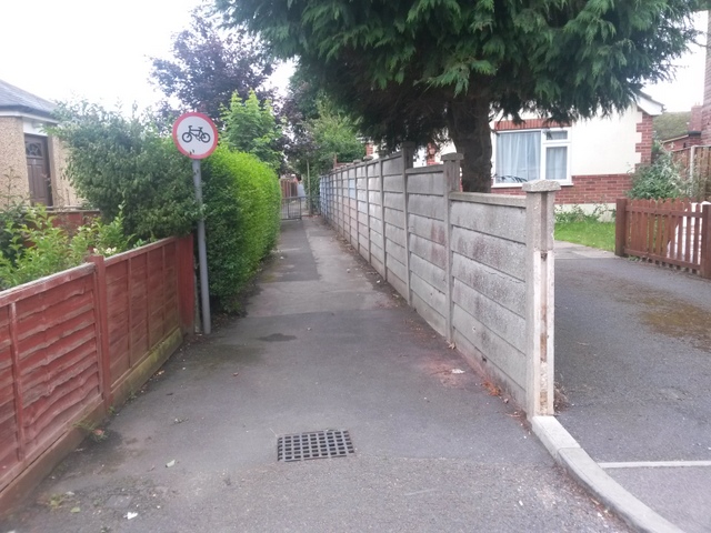
Image: © Chris Downer Taken: 30 Jun 2016
Looking south from the dead end of Limited Road, along a public footpath which leads to Brassey Road and, indirectly, Ripon Road. See Image for the view towards us, and Image for the next view along the path, with links to further photos along the mentioned routes.
Images are licensed for reuse under creativecommons.org/licenses/by-sa/2.0
Image Location
Latitude
50.749039
Longitude
-1.869401