West Howe: Heathlands Walk approaches Maclean Road
Introduction
The photograph on this page of West Howe: Heathlands Walk approaches Maclean Road by Chris Downer as part of the Geograph project.
The Geograph project started in 2005 with the aim of publishing, organising and preserving representative images for every square kilometre of Great Britain, Ireland and the Isle of Man.

There are currently over 7.5m images from over 14,400 individuals and you can help contribute to the project by visiting https://www.geograph.org.uk
West Howe: Heathlands Walk approaches Maclean Road
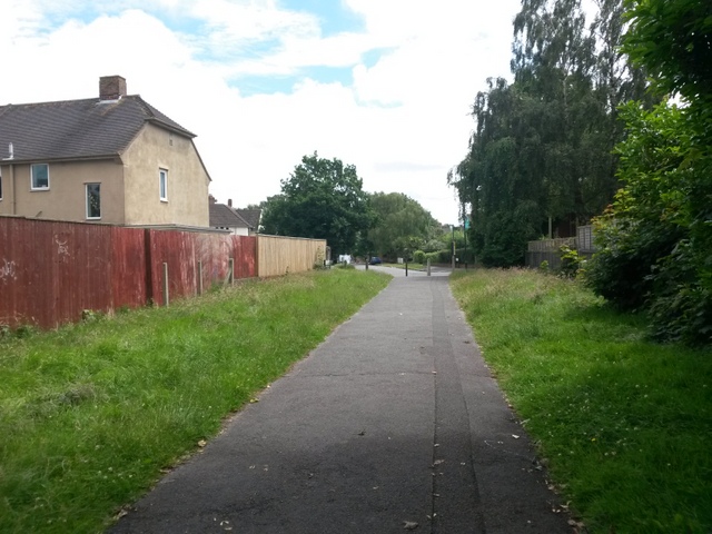
Image: © Chris Downer Taken: 30 Jun 2016
Looking along the southeast end of public footpath U08 as it heads for Maclean Road, with Springwater Road facing us in the background. See Image for the view behind us, and Image for the view towards us from the road ahead. Many of the footpaths on the West Howe estate and thereabouts have been given names in the last couple of years, a safety initiative whose intention is that, in the event of calling for help, one's location can be more easily described. This one has been named Heathlands Walk, after the primary school serving the estate, just a minute's walk beyond the end of the path (see Image).
Images are licensed for reuse under creativecommons.org/licenses/by-sa/2.0
Image Location
Latitude
50.758435
Longitude
-1.916444