West Howe: footpath U27 enters Springwater Close
Introduction
The photograph on this page of West Howe: footpath U27 enters Springwater Close by Chris Downer as part of the Geograph project.
The Geograph project started in 2005 with the aim of publishing, organising and preserving representative images for every square kilometre of Great Britain, Ireland and the Isle of Man.

There are currently over 7.5m images from over 14,400 individuals and you can help contribute to the project by visiting https://www.geograph.org.uk
West Howe: footpath U27 enters Springwater Close
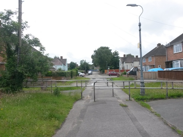
Image: © Chris Downer Taken: 30 Jun 2016
Mandale Close and Springwater Close are two parallel roads which meet end-to-end via this public footpath. Although the vehicular carriageways do not meet, the houses continue without interruption, as if it were a single road. See Image] for a view along the whole path from Mandale Close, behind us.
Images are licensed for reuse under creativecommons.org/licenses/by-sa/2.0
Image Location
Latitude
50.758703
Longitude
-1.9146