Footpath diversion route from Hill End Lane to Shibden Head, Queensbury
Introduction
The photograph on this page of Footpath diversion route from Hill End Lane to Shibden Head, Queensbury by Humphrey Bolton as part of the Geograph project.
The Geograph project started in 2005 with the aim of publishing, organising and preserving representative images for every square kilometre of Great Britain, Ireland and the Isle of Man.

There are currently over 7.5m images from over 14,400 individuals and you can help contribute to the project by visiting https://www.geograph.org.uk
Footpath diversion route from Hill End Lane to Shibden Head, Queensbury
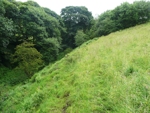
Image: © Humphrey Bolton Taken: 27 Jun 2016
Having crossed Shibden Brook on the spoil heap shown in Image it was a relief to find a faint trodden path heading towards the proper route of the footpath. That this route is used is confirmed by stile into the woodland ahead.
Images are licensed for reuse under creativecommons.org/licenses/by-sa/2.0
Image Location


Leaflet Map data © OpenStreetMap
Latitude
53.761949
Longitude
-1.857376