A4081 Splitting at Llandrindod Wells
Introduction
The photograph on this page of A4081 Splitting at Llandrindod Wells by David Dixon as part of the Geograph project.
The Geograph project started in 2005 with the aim of publishing, organising and preserving representative images for every square kilometre of Great Britain, Ireland and the Isle of Man.

There are currently over 7.5m images from over 14,400 individuals and you can help contribute to the project by visiting https://www.geograph.org.uk
A4081 Splitting at Llandrindod Wells
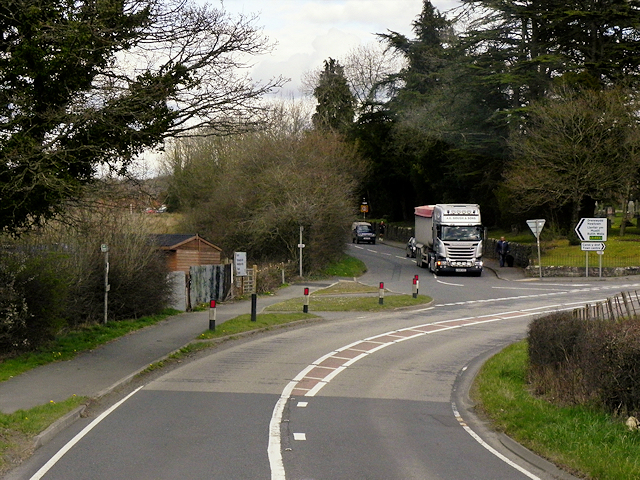
Image: © David Dixon Taken: 13 Apr 2016
Travelling towards Llandrindod Wells, the A4081 divides on the outskirts of the town after crossing the Ithon at Llanyre Bridge; both routes leading to the A483, one in the town centre, the other to the north.
Images are licensed for reuse under creativecommons.org/licenses/by-sa/2.0
Image Location
Latitude
52.250268
Longitude
-3.387001