Rookery Close, Bredgar
Introduction
The photograph on this page of Rookery Close, Bredgar by Chris Whippet as part of the Geograph project.
The Geograph project started in 2005 with the aim of publishing, organising and preserving representative images for every square kilometre of Great Britain, Ireland and the Isle of Man.

There are currently over 7.5m images from over 14,400 individuals and you can help contribute to the project by visiting https://www.geograph.org.uk
Rookery Close, Bredgar
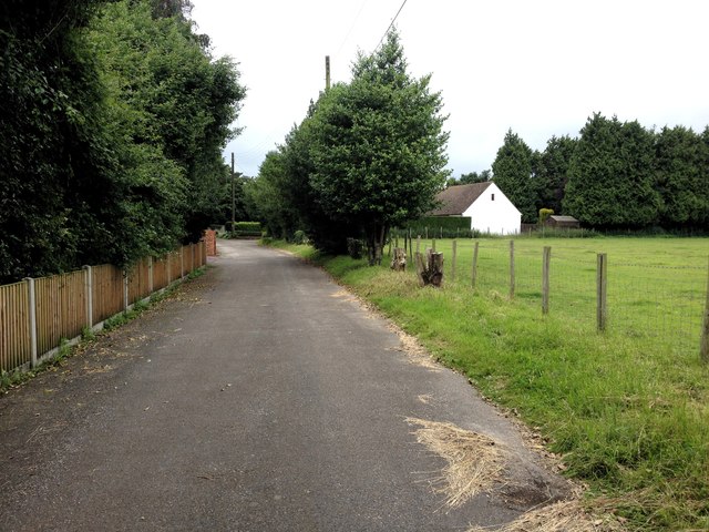
Image: © Chris Whippet Taken: 29 Jun 2016
Formerly part of Primrose Lane before the construction of the M2 Motorway in the early 1960s.
Images are licensed for reuse under creativecommons.org/licenses/by-sa/2.0
Image Location
Latitude
51.316294
Longitude
0.701524