Kinson: footpath E13 from Wakely Road
Introduction
The photograph on this page of Kinson: footpath E13 from Wakely Road by Chris Downer as part of the Geograph project.
The Geograph project started in 2005 with the aim of publishing, organising and preserving representative images for every square kilometre of Great Britain, Ireland and the Isle of Man.

There are currently over 7.5m images from over 14,400 individuals and you can help contribute to the project by visiting https://www.geograph.org.uk
Kinson: footpath E13 from Wakely Road
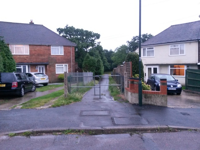
Image: © Chris Downer Taken: 29 Jun 2016
This public footpath cuts through to the main Poole Lane, a useful cut-through towards the centre of Kinson. See Image for a nighttime view midway along the path, with links to further pictures on the route.
Images are licensed for reuse under creativecommons.org/licenses/by-sa/2.0
Image Location
Latitude
50.766881
Longitude
-1.907212