West Howe: entering Bluebird Walk from Moorside Road
Introduction
The photograph on this page of West Howe: entering Bluebird Walk from Moorside Road by Chris Downer as part of the Geograph project.
The Geograph project started in 2005 with the aim of publishing, organising and preserving representative images for every square kilometre of Great Britain, Ireland and the Isle of Man.

There are currently over 7.5m images from over 14,400 individuals and you can help contribute to the project by visiting https://www.geograph.org.uk
West Howe: entering Bluebird Walk from Moorside Road
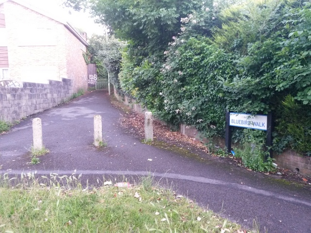
Image: © Chris Downer Taken: 28 Jun 2016
Many of the footpaths on the West Howe estate and thereabouts have been given names in the last couple of years, a safety initiative whose intention is that, in the event of calling for help, one's location can be more easily described. This one is named Bluebird Walk and is public footpath U38 leading up to Kinson Road. See Image for a wider view from across the road behind us, and Image for a photo towards us, coming out of the path, with links to further photos along the route.
Images are licensed for reuse under creativecommons.org/licenses/by-sa/2.0
Image Location


Leaflet Map data © OpenStreetMap
Latitude
50.757704
Longitude
-1.902126