West Howe: the start of footpath U35 alongside Moorside Road
Introduction
The photograph on this page of West Howe: the start of footpath U35 alongside Moorside Road by Chris Downer as part of the Geograph project.
The Geograph project started in 2005 with the aim of publishing, organising and preserving representative images for every square kilometre of Great Britain, Ireland and the Isle of Man.

There are currently over 7.5m images from over 14,400 individuals and you can help contribute to the project by visiting https://www.geograph.org.uk
West Howe: the start of footpath U35 alongside Moorside Road
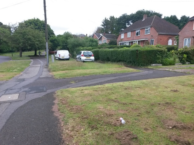
Image: © Chris Downer Taken: 29 Jun 2016
While Moorside Road swings round to the left, this public footpath starts in front of us and, after these few yards left-right, runs parallel with the road to the right of the grass, before heading up Ericksen Road just by the tree in the distance. The straight course of this section of path on the Borough's definitive rights of way map is not mirrored by the tarmac on the ground: see Image for the next picture along the path, taken from alongside the white van.
Images are licensed for reuse under creativecommons.org/licenses/by-sa/2.0
Image Location
Latitude
50.757615
Longitude
-1.902552