Westbourne: footpath A10 from Snowdon Road
Introduction
The photograph on this page of Westbourne: footpath A10 from Snowdon Road by Chris Downer as part of the Geograph project.
The Geograph project started in 2005 with the aim of publishing, organising and preserving representative images for every square kilometre of Great Britain, Ireland and the Isle of Man.

There are currently over 7.5m images from over 14,400 individuals and you can help contribute to the project by visiting https://www.geograph.org.uk
Westbourne: footpath A10 from Snowdon Road
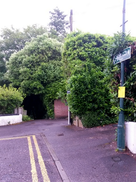
Image: © Chris Downer Taken: 29 Jun 2016
Looking across the dead end of Snowdon Road, from where a steep public footpath, signposted on the lamppost, descends to Prince of Wales Road. See Image for the next view along the path, including text links to further pictures.
Images are licensed for reuse under creativecommons.org/licenses/by-sa/2.0
Image Location
Latitude
50.724429
Longitude
-1.899645