Farmland near Fairy Cross
Introduction
The photograph on this page of Farmland near Fairy Cross by Derek Harper as part of the Geograph project.
The Geograph project started in 2005 with the aim of publishing, organising and preserving representative images for every square kilometre of Great Britain, Ireland and the Isle of Man.

There are currently over 7.5m images from over 14,400 individuals and you can help contribute to the project by visiting https://www.geograph.org.uk
Farmland near Fairy Cross
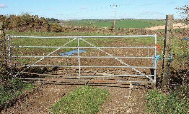
Image: © Derek Harper Taken: 31 Mar 2016
From the top of the hill on the lane shown in Image], looking left. Over the hedge, left of centre, can be seen the A390 just beyond Fairy Cross.
Images are licensed for reuse under creativecommons.org/licenses/by-sa/2.0
Image Location


Leaflet Map data © OpenStreetMap
Latitude
50.426315
Longitude
-4.645216