Westbourne: footpath A09 to the Upper Gardens
Introduction
The photograph on this page of Westbourne: footpath A09 to the Upper Gardens by Chris Downer as part of the Geograph project.
The Geograph project started in 2005 with the aim of publishing, organising and preserving representative images for every square kilometre of Great Britain, Ireland and the Isle of Man.

There are currently over 7.5m images from over 14,400 individuals and you can help contribute to the project by visiting https://www.geograph.org.uk
Westbourne: footpath A09 to the Upper Gardens
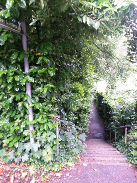
Image: © Chris Downer Taken: 29 Jun 2016
One of two public footpaths leading from this stretch of Surrey Road to the Upper Gardens. Unlike the other one (Image), this one is steps first and then flat. See Image for a view up the steps towards us.
Images are licensed for reuse under creativecommons.org/licenses/by-sa/2.0
Image Location
Latitude
50.725599
Longitude
-1.90021